Hours, prices and access verified by the Whitehaven Beach Tours team — last checked 2026-09-21.
Whitehaven Beach is 7 km long, and its two ends are different stops. The
tours start from half a dozen places around Airlie Beach. Here is where each end is, where
each tour meets, and how to find the Airlie Beach tours to Whitehaven Beach on the morning.
Whitehaven Beach on Whitsunday Island
The beach runs along the south-east side of Whitsunday Island, in Whitsunday Islands
National Park. The park protects 32 islands and lies 25 km east of
Airlie Beach. Haslewood Island sits across the water from the day-use area.
No road reaches the island. You arrive by boat at one end of the beach, or by
helicopter on the sand.
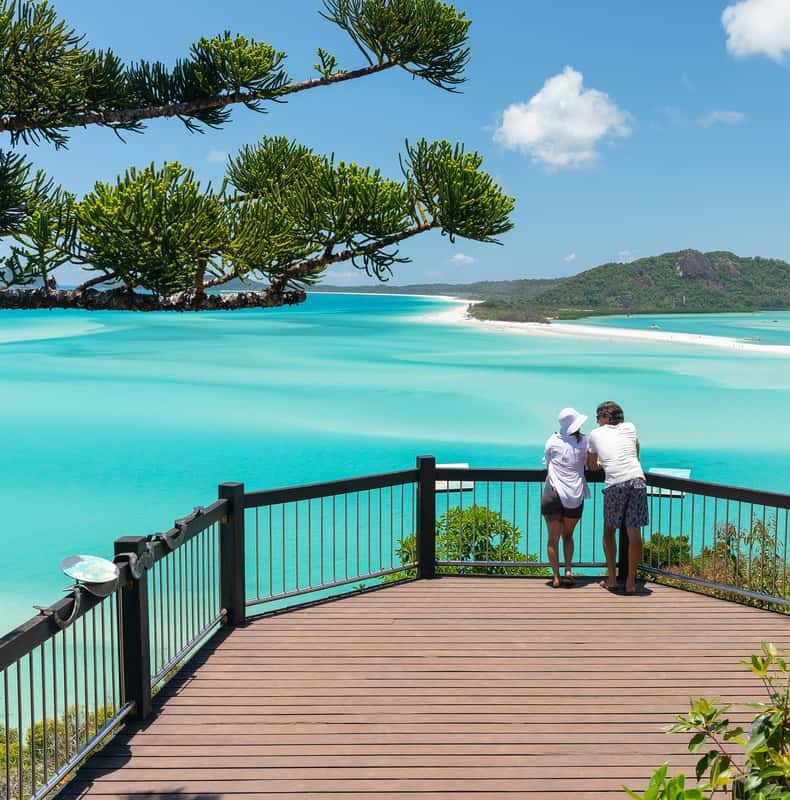
The northern end: Hill Inlet and Tongue Point
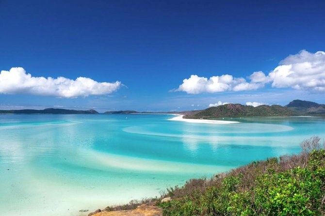
At the north, the beach ends at Hill Inlet, where the tide swirls sand through blue
channels. Tongue Point is the headland on the inlet's northern side, and the lookout track
climbs it from Tongue Bay. Boats moor in Tongue Bay from mid to high tide.
Most boat days come here for the lookout walk. By sea, Tongue Point is about 49 km from
Shute Harbour.
The southern end: the day-use area and the Solway circuit
At the south is the day-use area, with picnic tables and non-flush toilets, and the
camping area behind the beach. The Solway circuit starts near the camping area, and the
Chance Bay track branches off it. Boats can anchor here at any tide, about 40 km from
Shute Harbour.
ZigZag and the half-day catamaran come to this end and not to Hill Inlet. ZigZag
walks you 900 m up to the South Whitehaven lookout, over the southern sweep of the
beach. The half-day boat gives you up to two hours on the sand and a self-guided bush
walk.
A raft day can reach both ends. Ocean Rafting's 6.5-hour day spends time in the north
at the inlet and its snorkel sites, then at least two hours on the southern sand.
Coral Sea Marina meeting points
Coral Sea Marina, on Shingley Drive in Airlie Beach, has more than one meeting point,
and each operator uses its own. Arrive at the wrong one and you may miss the boat.
Meeting point
Where exactly
Who meets there
Northern Village
Next to Sorrento's Restaurant, 1-3 Shingley Drive
Ocean Rafting's raft day
Meeting Point B
Coral Sea Marina North, by the roundabout
Iconic's speedboat, 7:40am; Red Cat, 8:30am
Meeting Point D
The Northern Village
ZigZag, 8:20am
Meeting Point C
The South Village, not the north end
OzSail's two-night boats, 10:30am or 11am
Coral Sea Marina was once called Abell Point Marina, one operator notes, so an older map
may show that name.
Port of Airlie and Shute Harbour
At the Port of Airlie, the Cruise Whitsundays
terminal is at 24 The Cove Road. Shute Harbour is 10 km beyond Airlie Beach on Shute
Harbour Road. SeaLink runs a free coach there from 13 stops in town.
Whitsunday Airport and Hamilton Island
The flights leave from Whitsunday Airport, at 12 Air Whitsunday
Road. The helicopter asks you to be at the main terminal 15 minutes early, and the
scenic flight 45 minutes early. Whitehaven Xpress meets at Base Airlie Beach Resort on Shute
Harbour Road.
Hamilton Island is about 20 km south-east of Shute Harbour. The private charter can
board at its marina, at Daydream Island or at Palm Bay on Long Island.
Departure point
Address
Who leaves from there
Port of Airlie
Cruise Whitsundays terminal, 24 The Cove Road
The half-day catamaran and Camira
Shute Harbour
10 km beyond Airlie Beach
SeaLink, 9am
Whitsunday Airport
12 Air Whitsunday Road
The scenic flight, the helicopter and the fly-raft package
Base Airlie Beach Resort
336 Shute Harbour Road
Whitehaven Xpress
Hamilton Island Marina
G Arm
The private charter; also Daydream Island and Palm Bay
Map of Whitehaven Beach
Whitehaven Beach, Whitsunday
Island The beach, the islands and Airlie Beach on the mainland
The map loads from Google only when you press the button. Whitehaven Beach runs
along the island's south-east side, with Hill Inlet at its northern end. Airlie Beach and
Shute Harbour are on the mainland to the west.
Questions about the map
Where is Whitehaven Beach?
On the south-east side of Whitsunday Island, in Whitsunday Islands National Park. The park lies 25 km east of Airlie Beach, off the Queensland coast.
Where do Whitehaven Beach tours leave from?
Most leave Coral Sea Marina in Airlie Beach, from four different meeting points. Others go from the Port of Airlie terminal, Shute Harbour or Whitsunday Airport.
Which Coral Sea Marina meeting point is mine?
It depends on your operator, so read your confirmation. Iconic and Red Cat use Meeting Point B by the roundabout, ZigZag Meeting Point D, and OzSail Meeting Point C in the South Village.
How far apart are Hill Inlet and the day-use area?
They sit at opposite ends of the 7 km beach. By sea from Shute Harbour, the day-use area is about 40 km and Tongue Point about 49 km.
Where these facts come from
The island, the two ends and the distances are Queensland Parks and Wildlife Service's,
checked 21 September 2026. Every meeting point and time is from the operator's own description of its
tour.
Eight hours on a big, steady catamaran with three meals served on board, the guided lookout walk and up to two hours on the sand. No snorkel stop, and a free coach from town.
Ten hours under sail, with lunch, soft drinks, beer and wine in the fare, about three hours at the northern end of the beach and a reef snorkel. The lookout walk depends on the tide; cancel three days out.
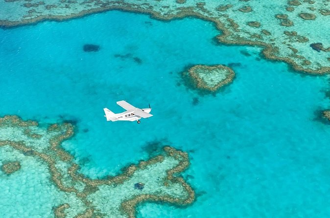
A one-hour flight with a guaranteed window seat over the reef and the islands, then the ocean-raft day: the lookout walk, a reef snorkel, lunch and about two hours on the beach. A courtesy coach runs from town to the airport.